React Native vs. Xamarin.
Mobile Development with React Native and Xamarin Forms.
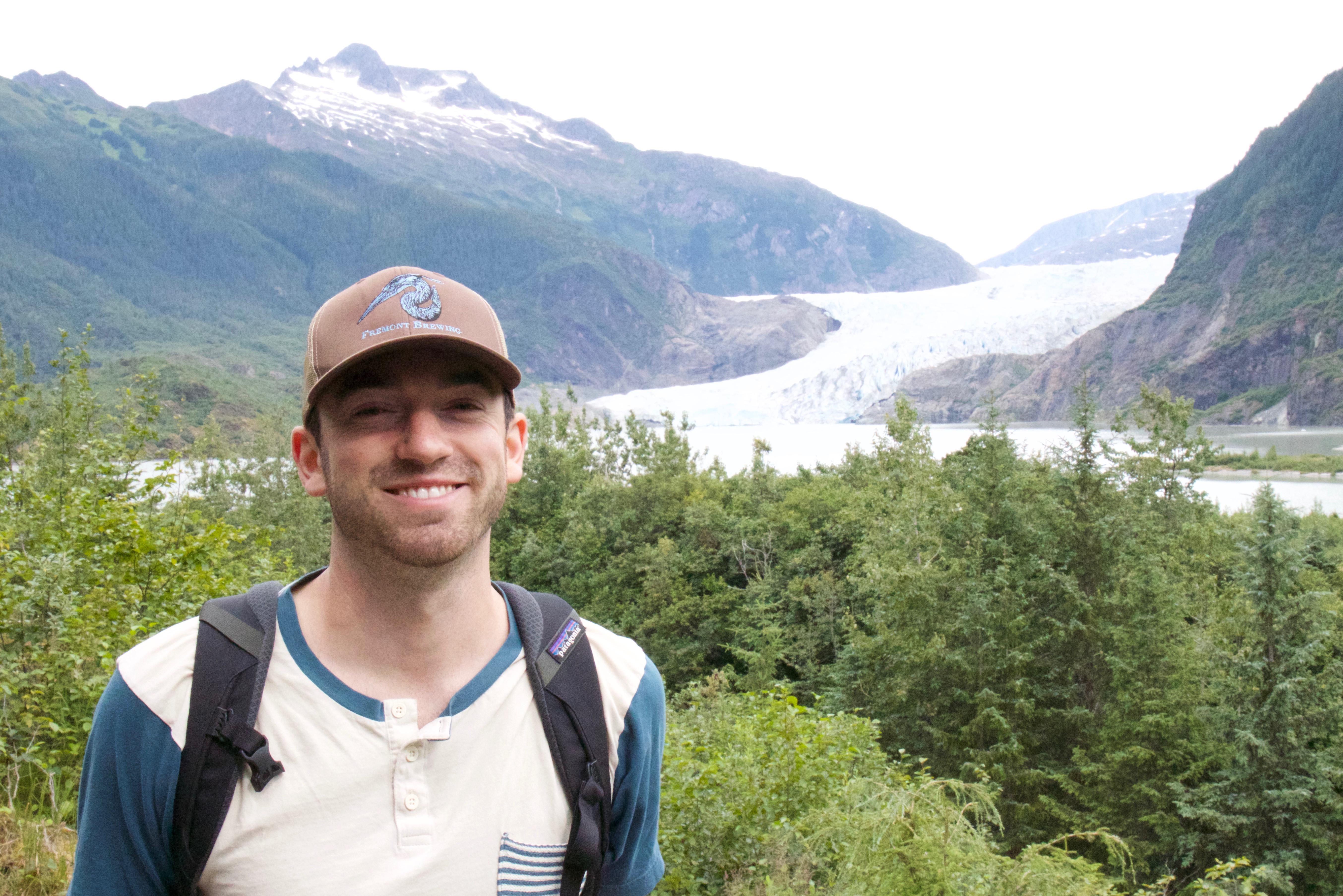
B.S., M.S., GIS Specialist, Software Developer
Mobile Development with React Native and Xamarin Forms.

Using Firebase for web application development

Scraping the Twitter API and visualizing tweets with Folium Maps.
Automating a replica recreation process.
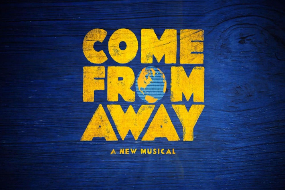
A Broadway musical based on true events surrounding 9/11.
George R.R. Martin
A tutorial for setting up a React development environment.
Real-time data feeds.
Jane Mayer
Benjamin Graham
My name is Jason Berney. I am currently located in Portland, Oregon working as a Geospatial Developer.
I am currently employed by The Gartrell Group, a consultancy focused on helping our clients define and execute strategies to optimize their use of geospatial technology.
I am focused on using modern technology and geospatial software to visualize business resources and develop solutions to
unique business challenges.
I am a full stack software developer leading and supporting web application development for project
tracking, field review, dashboard analytics, and mapping programs that provide spatial insights.
My project work has focused on electric vehicle
charging demand, renewable energy construction, transportation infrastructure planning, and climate adaptation.
I have a background in GIS that provides me with specialized experience integrating geospatial technologies into web applications
including dynamic web maps, spatial commenting tools, and real-time connectivity with field survey activities.
I am experienced standing up full stack web applications from scratch using technologies such as Next.js, Docker, Azure DevOps,
React, Angular as well as managing backend infrastructure using cloud database platforms including SQL Server and PostgreSQL.
I write API’s using Node JS for creating dynamic web interfaces. In addition, I have an eye for design and
am well versed in user interface (UI) libraries such as Material-UI and amCharts. With the rapid evolution of the
software development landscape, my technical curiosity ensures my skills stay sharp through learning and
implementing new technologies to solve big challenges.
I received a Bachelor's of Science in Environmental Science and a Minor in Spatial Studies from the University of Redlands in April, 2015. During my undergraduate work I volunteered and interned at non-profit organizations, government agencies, and academic institutions where I used GIS and related technology to support sustainable solutions. In 2016 I earned a Master of Science in Geospatial Technology at the University of Washington.
These three Blogs highlight my life, technical experience and some recent reads.